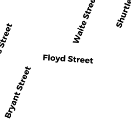
72 STOWERS ST
Owner Information
LUONGO ROBERT
72 STOWERS ST
REVERE, MA 02151


Property Details
72 STOWERS ST is classified as a Single Family Residential (Cape).
The primary structure on this property was built in 1957. There are 1,344ft2 of built area within this property. There is 1,344ft2 of residential/living space within this property. This property is listed as having 6 rooms.
72 STOWERS ST is valued at $423,600. The land is valued at $199,000 and the structures are valued at $224,100. There is an additional valuation of $500 on this property.
This property is in Zone RB. Confirm with local Zoning Board authorities to ensure there are no overlays or other easements on this property.
The most recent deed for 72 STOWERS ST is recorded at the local registrar in Book 66873, Page 99. 72 STOWERS ST was last sold on Thursday, December 16, 2021 for $1.
Assessment data from fiscal year 2022.
Flood Data
This property is partially within the AE Zone (within floodplain). Approximately 0.1 acres (93.05%) of the property is within this zone.
The base flood elevation for this flood zone is 11 feet.
This information is sourced from the FEMA National Flood Hazard Layer. See our full disclamer.
Broadband Internet Providers
| Provider | Type | Bandwidth (mbps) | |
|---|---|---|---|
| Verizon New England Inc. | DSL | 5 | 0 |
| Viasat Inc | Satellite | 100 | 3 |
| Comcast | Cable | 1000 | 35 |
| RCN | Cable | 500 | 20 |
| RCN | Cable | 1000 | 20 |
| Starry, Inc. | Fixed Wireless | 200 | 200 |
| GCI Communication Corp. | Satellite | 0 | 0 |
| HughesNet | Satellite | 25 | 3 |
| VSAT Systems, LLC. | Satellite | 2 | 1 |
Broadband service provider data from December 2020.
Adjacent Properties
- 66 STOWERS ST
Single Family Residential owned by RUSSO DENNIS D - 21 BRYANT ST
Two-Family Residential owned by JEREZANO JOSE R LIFE ESTATE - 27 BRYANT ST
Single Family Residential owned by MOFFA AURELIO - 0 BRYANT ST
Undevelopable Residential Land owned by SACCO NOCOLA - 76 STOWERS ST
Two-Family Residential owned by CARBONE LOUIS